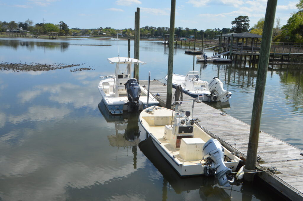
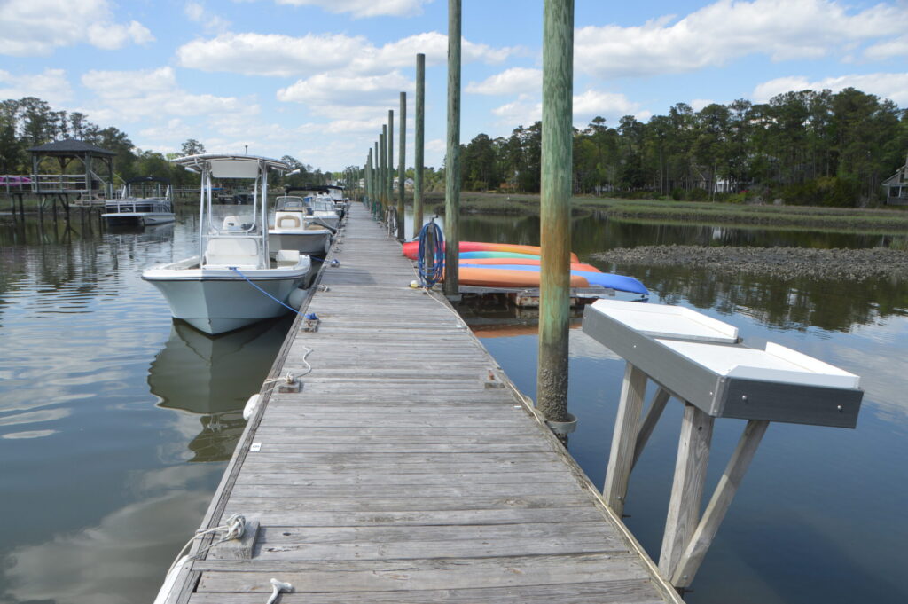
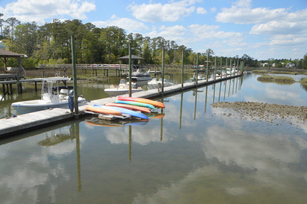
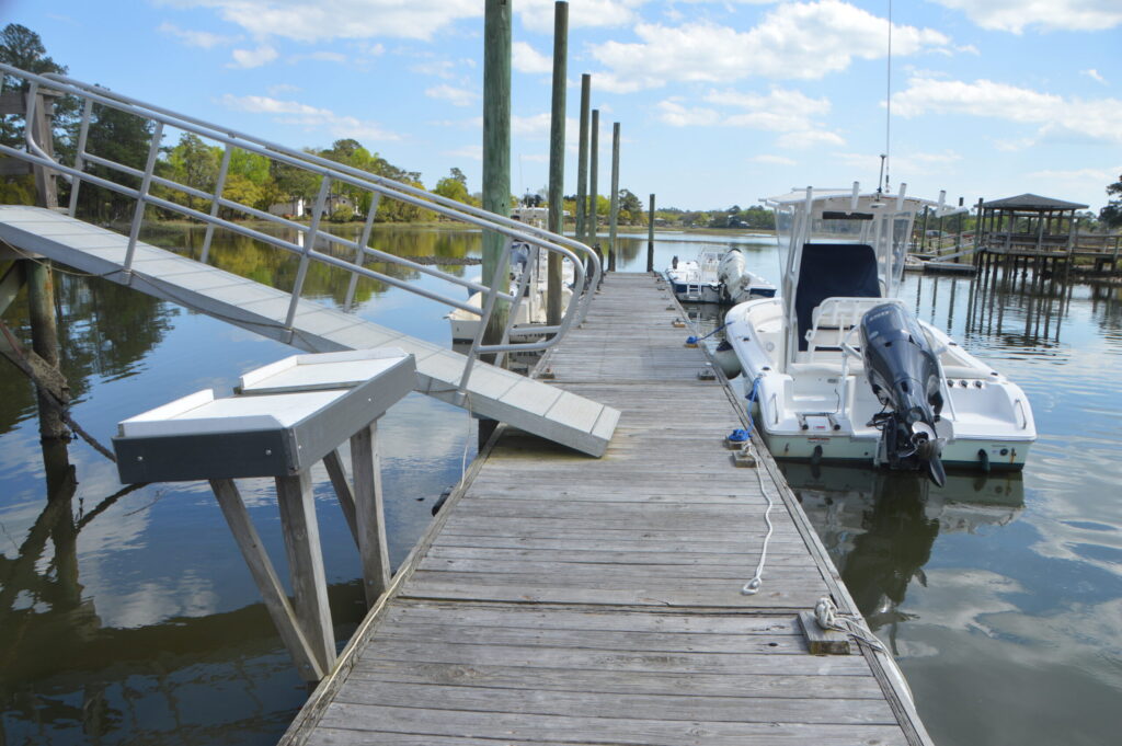
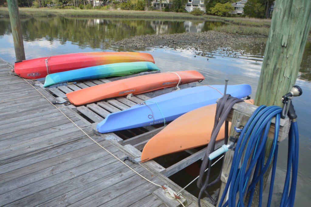
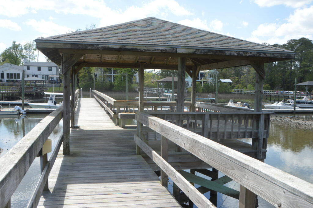
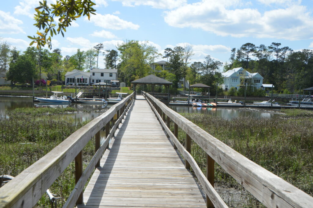
Oyster Point is a 52-parcel subdivision in the Porter’s Neck area of Northeast New Hanover County. It occupies two separate tracts of land. One tract is a peninsula on the eastern side of Everett’s Creek, a tributary to Pages Creek. The other detached parcel forms a rectangle with Edgewater Club Road on its northeast side and Oyster Point Road on its southeast side. The peninsula has 44 parcels, and the detached rectangle has 8. The original plat for the boat slips divided 57 slips, with spaces assigned on both sides of a long central floating platform. Most assigned spaces were about 20 feet, with a few at 24 feet. That didn’t work out; today, no boats are berthed on the east side of the platform. It is clearly too narrow and too shallow to dock on that side. But funny thing: I looked through dozens of past listings for the neighborhood, and they all claim to have a 20-foot boat slip. Some claim their slip is assigned; some say unassigned. This could be an issue for someone purchasing in Oyster Point. That said, only half of the existing slips were in use when inspected, so low demand might work in the buyer’s favor.
Assuming you’ve secured a slip, keep in mind this facility is pretty far up Everett’s and Page’s Creek, an area that is tidal and subject to shoaling. This will restrict your craft to a shallow draft. You may want to talk to neighbors about getting in and out at low tide.
This location will put you roughly 1.7 miles from the intracoastal waterway. Another 4 miles gets you to the Wrightsville Beach Bridge and several waterfront restaurants. Another 3 miles gets you to the Masonboro Inlet and blue water. South of there is Masonboro Island, a 7.5-mile-long undeveloped barrier island that can be accessed at several locations off the intracoastal waterway. Going north from Pages Creek, 2.3 miles is Rich Inlet and Lea-Hutaff Island, a 4-mile-long undeveloped island.
Participation from the neighborhood is moderate.